AMSTERDAM 'BLUE RIVER' CITYSCAPE 1:5000 (BACK CATALOGUE)

12in high, 12in wide, 2in deep & 10lb approximately.

Free delivery within 12 working days

Shipping, import tax and duty included for delivery to United States.

USD $385.00

Remove: blue water

Change size: large

New release: show new version

Amsterdam has its origins in the 12th century when locals built a dam over the river Amstel leading to the village being named "Aemstelredamme". In the Middle Ages, Amsterdam was surrounded by a moat, called the Singel, which now forms the innermost ring in the city, and makes the city centre a horseshoe shape. The canal system was heavily developed in the early 17th century, considered the city's Golden Age, to accommodate large scale immigration. Four concentric half-circles of canals with their ends emerging at the IJ bay were constructed. Amsterdam is now home to more than one hundred kilometres of canals. It is thought that the considerations of the layout were purely practical and defensive rather than ornamental. The layout of the inner city canal ring was inscribed on the World Heritage List by Unesco in 2010.

This 3d map of Amsterdam, at a scale of 1:5000, is centred on the Royal Palace and includes the Singel, Prinsengracht, Herengracht and Keizersgracht. It is a single plaster tile measuring 30x30cm encapsulated in a perspex frame. The model can wall hang or be displayed on a desk or table top.


EDITION

Open edition - signed and dated

ALTERNATIVE SIZE AND STYLE

Show standard model.

DISPLAY

Display flat on the desk or wall hang.

DIMENSIONS

12in high, 12in wide, 2in deep & 10lb approximately.

LOCATION

Amsterdam, Netherlands

MATERIALS

Handmade: Plaster, metal etching, acrylic box frame

RETURNS

No quibble returns policy.

GIFT OPTIONS

Gift options available at checkout.

SUBSCRIBE AND RECIEVE

A coupon code which will give you 10% off all orders. Occassional e-newsletters containing information on major new releases and projects. Notification of biannual special promotions. Sign up.
Sustainably Crafted

We all want the world to be a better place. We are trying to do our bit. We reuse, recycle and use less where we can. We search out sustainable local suppliers. We sponsor grassroots sports for the local youth, donating both money and time. We sponsor local environmental projects. We know we can do more but we're making a start!
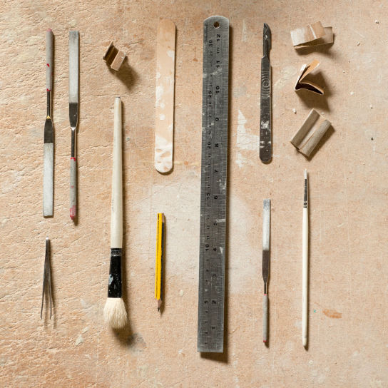
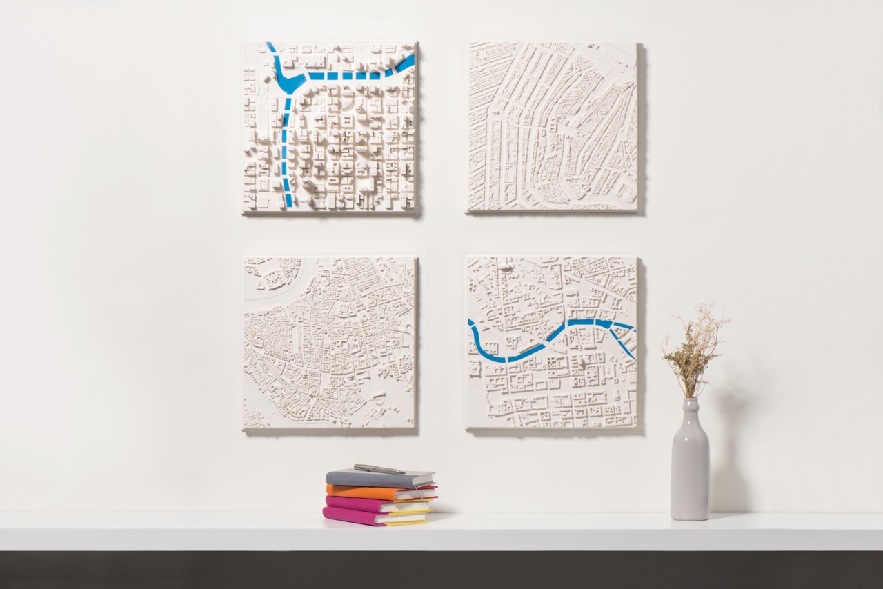
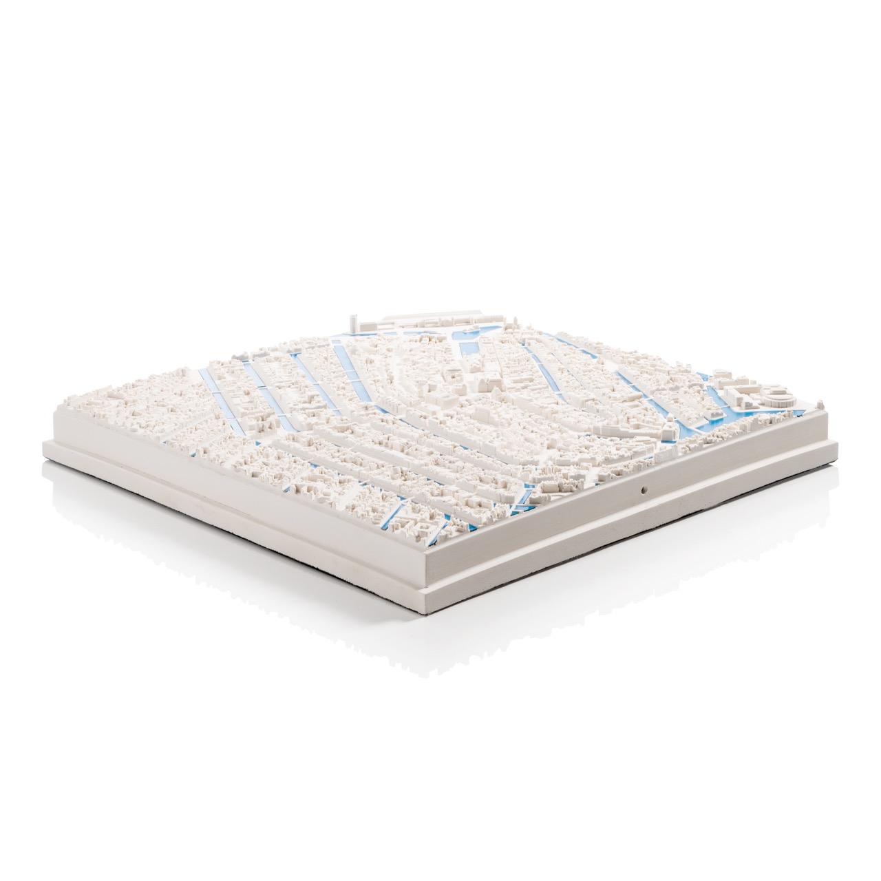
sustainability
Handmade

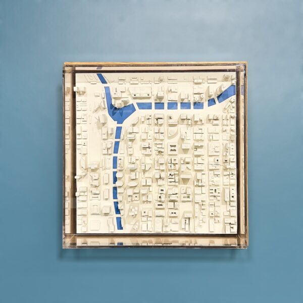
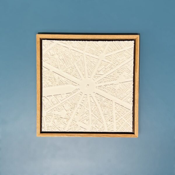
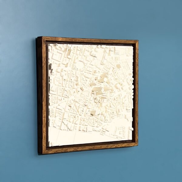
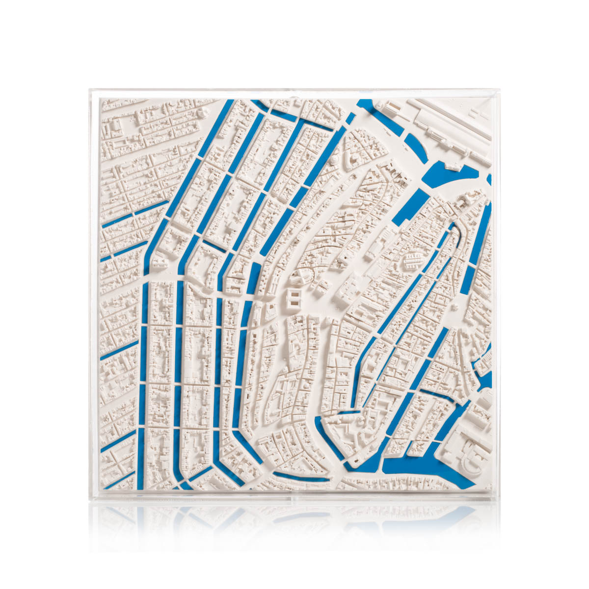
We hand make all of our models. Chisel & Mouse is the combination of an artisan’s approach (the chisel) with modern innovation and transformative technologies (the mouse).

By capturing life and its big ideas in miniature, the brand celebrates the beauty of our industrialised world.

craft models


GOES WELL WITH...

AMSTERDAM CITYSCAPE 1:5000 (BACK CATALOGUE)

12in high, 12in wide, 2in deep & 10lb approximately.

Amsterdam has its origins in the 12th century when locals built a dam over the river Amstel leading to the village being named "Aemstelredamme". In the Middle Ages, Amsterdam was surrounded by a moat, called the Singel, which now forms the innermost ring in the city, and makes the city centre a horseshoe shape. The canal system was heavily developed in the early 17th century, considered the city's Golden Age, to accommodate large scale immigration. Four concentric half-circles of canals with their ends emerging at the IJ bay were constructed. Amsterdam is now home to more than one hundred kilometres of canals. It is thought that the considerations of the layout were purely practical and defensive rather than ornamental. The layout of the inner city canal ring was inscribed on the World Heritage List by Unesco in 2010.

This 3d map of Amsterdam, at a scale of 1:5000, is centred on the Royal Palace and includes the Singel, Prinsengracht, Herengracht and Keizersgracht. It is a single plaster tile measuring 30x30cm encapsulated in a perspex frame. The model can wall hang or be displayed on a desk or table top.

AMSTERDAM CITYSCAPE 1:5000 (BACK CATALOGUE)
LONDON 'BLUE RIVER' CITYSCAPE 1:5000 (BACK CATALOGUE)

12in high, 12in wide, 4in deep & 10lb approximately.

London is one of the world's oldest great cities. It grew from three centres: the Roman settlement in the 1st century on the northern banks of the Thames, now known as "the City"; Southwark on the southern banks; and Westminster upstream. London expanded rapidly. The Great Fire of 1666 led to the proposal of many radical rebuilding schemes but these came to little. Instead London was rebuilt piecemeal driven by capitalism and housing demands. London's population passed one million by 1800 and had reached 6.5 million a century later. Its structure is immensely complicated and there is little discernible form. Unsurprisingly it is not characterised by any particular architectural style with its buildings having been amassed over such a long period of time.

This 3d map of London, at a scale of 1:5000, is of "the City" - London's hub of trade, commerce, and banking. It is a single plaster tile measuring 30x30cm encapsulated in a perspex frame with an accentuated "blue" river Thames. The model can wall hang or be displayed on a desk or table top.

BERLIN 'BLUE RIVER' CITYSCAPE 1:5000 (BACK CATALOGUE)

12in high, 12in wide, 2in deep & 6.5lb approximately.

Berlin developed from the early 13th century on the banks of the river Spree. It became the capital of the princes of Brandenburg and expanded as their influence in Europe grew. The city gained a Baroque appearance with broad avenues, such as Wilhelmstrasse and Friedrichstrasse, handsome squares and grand buildings. The destruction during WWII was followed by the construction of modern apartment and office buildings. There has been much effort to blend old and new as can be seen in the restored Reichstag building. This and the surrounding area have become the seat of national government. Berlin's many buildings representing the styles of the Baroque, Classicism, Romanticism, Grunderjahre (1871-90), and the Wilhelminian era, of Art Nouveau, Bauhaus, postwar Modernism, and Postmodernism, and of the periods of socialist state architecture make the city a rich source for the study of 18th- to 20th-century architecture. Berlin is surprisingly green with many trees lining the streets, the Tiergarten park just west of the Brandenburg Gate and the river Spree running through the centre of the city.

This 3d map of Berlin, at a scale of 1:5000, is centred on the intersection of the River Spree and Friedrichstrasse. It is a single plaster tile measuring 30x30cm encapsulated in a perspex frame. The model can wall hang or be displayed on a desk or table top.

BERLIN 'BLUE RIVER' CITYSCAPE 1:5000 (BACK CATALOGUE)


ADDRESS

Chisel & Mouse, Unit 1 Hooklands Farm, Scaynes Hill, West Sussex, RH17 7NG, UK.
+44(0)1273251335
store@chiselandmouse.com Company Reg. No: 3842458
VAT No: GB749403615
EORI No: GB749403615000

Social